Bec Gavin, from the Castagnot car park

Edited by:
Massimo Martini
Updated at: 01/09/2026
Access
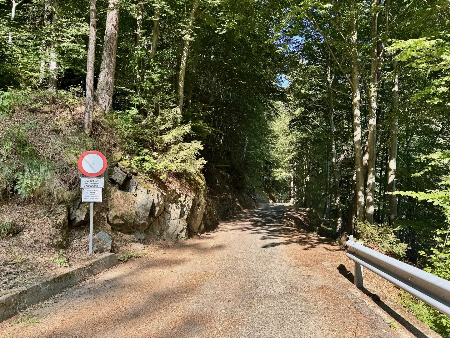
Leave the motorway at the Verrès exit and join the towards Turin. Drive past the village of Verrès and, after about 1.5 kilometres, take the first exit on the right at the second roundabout, following the signs for Issogne. Cross the River Dora Baltea and drive up the local road leading to the famous Issogne Castle. Continue for a further 2.3 kilometres and, at a junction, keep to the right. Follow the narrow village streets until you leave the built-up area behind you. At a four-way junction, turn left onto the local road that winds its way up towards the hamlet of Visey. Continue along the narrow, winding road as it climbs the wooded slope above the village. 9.5 kilometres from the motorway junction, at an altitude of 1,050 metres, you’ll come to a ‘no entry’ sign for motor vehicles: just before this, on the left, there’s a small lay-by where you can park your car.
The starting point of the route cannot be reached by public transport, so you will need to use a private vehicle.
Distance and walking time
🕒 Walking time: 23 minutes
📏 Distance: 9.5 kilometres
GPS navigation
📍 How to get there with Google Maps
📍 How to get there with Apple Maps
Important note
The directions provided were verified on the date the route was mapped. Before setting off, it is advisable to check for any changes to the route. For up-to-date and detailed directions, we recommend using Google Maps or Apple Maps.
Introduction
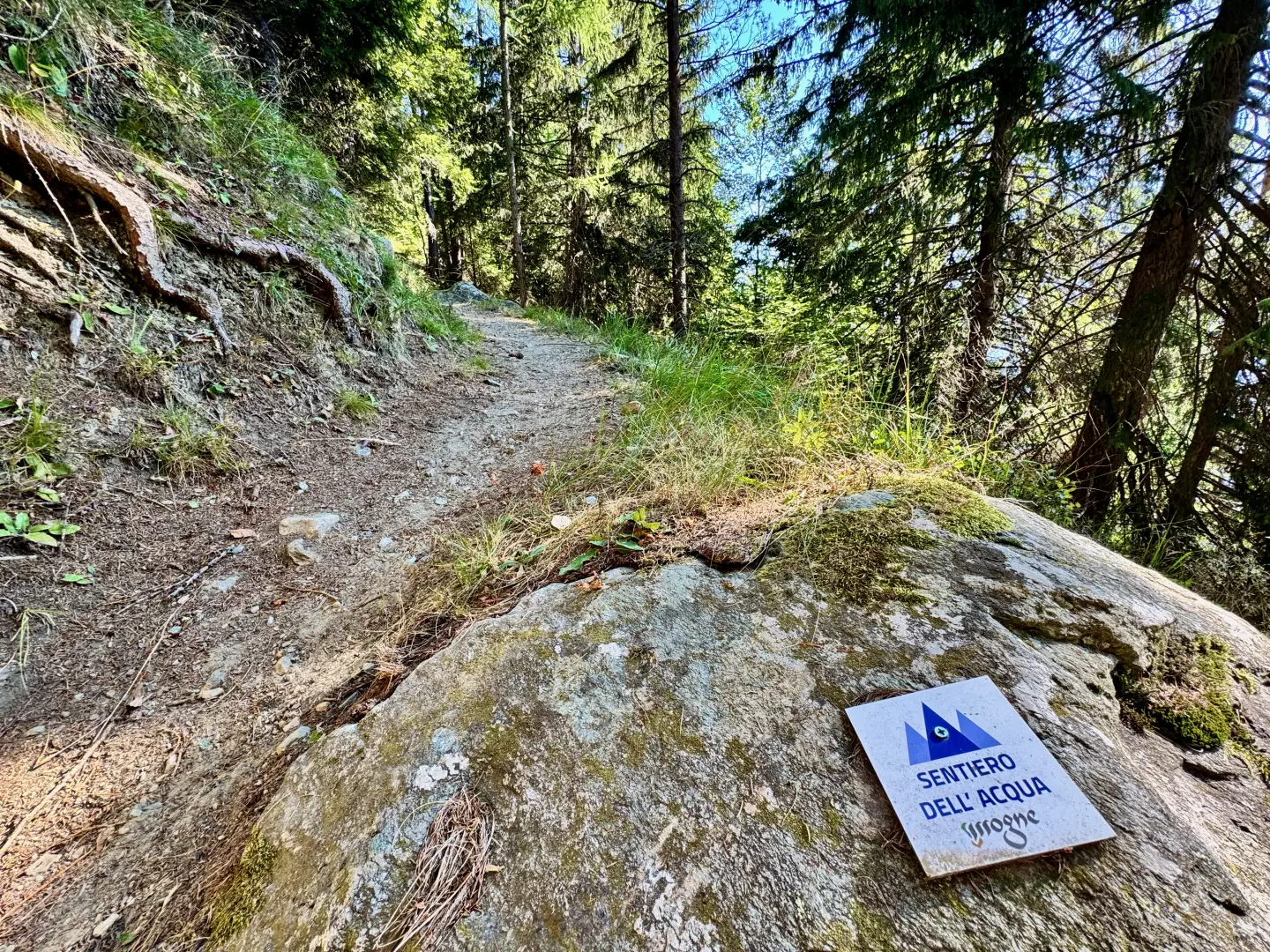
The ascent to Bec Gavin follows a secluded route, set amongst the solitary landscapes of the Brenve valley, on the edge of the Mont Avic Nature Park. Along the ascent, you pass through small mid-mountain villages, walk past chapels and drinking fountains, and follow ancient farm tracks that still bear witness to the rhythm of the agrarian and pastoral life of days gone by.
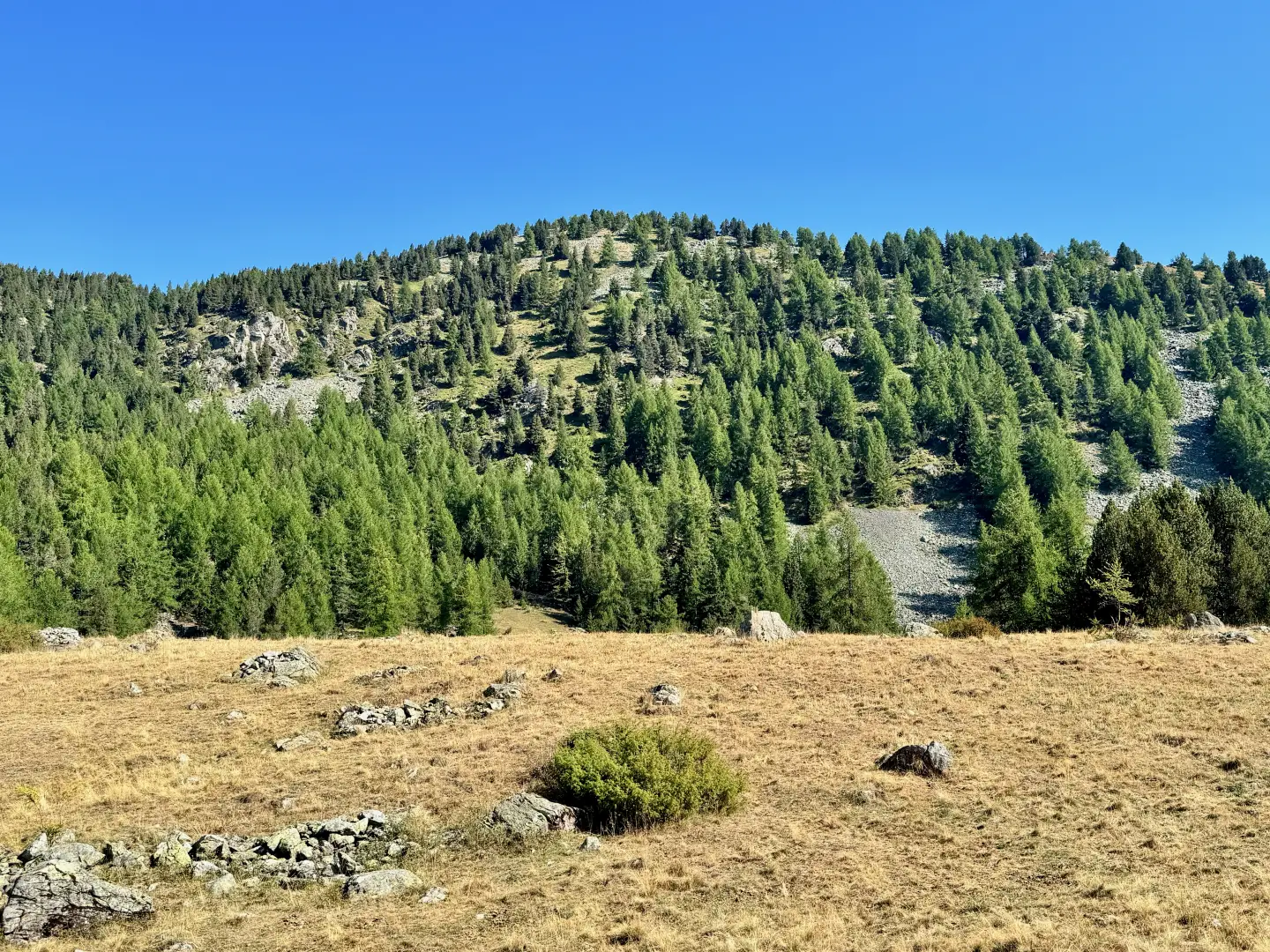
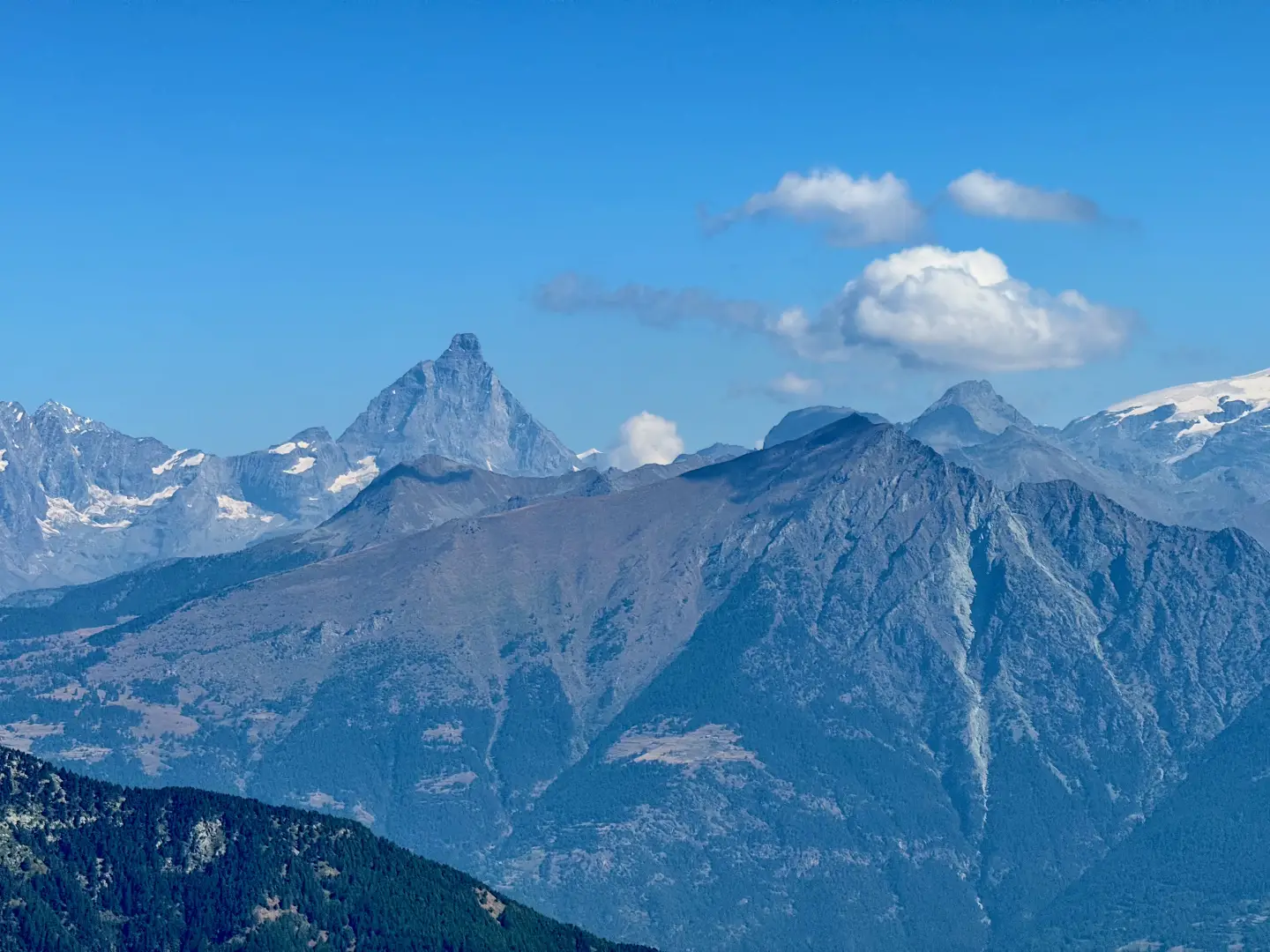
The route alternates between sections through woodland – dominated by larch and Scots pine – and bright, panoramic pastures, including that of Alpe L’Aveuil, which offers a first panoramic view of the lower Aosta Valley. The final stretch, wilder and less well-marked, winds its way through juniper bushes and scree slopes, until – with the help of a few cairns – it reaches the grassy summit of Bec Gavin, overlooking the Mont Avic basin and the long ridge that separates the Champdepraz valley from that of Champorcher.
A comprehensive and rewarding hike in a little-visited corner that invites you to explore the mountains at a leisurely and peaceful pace.
Description
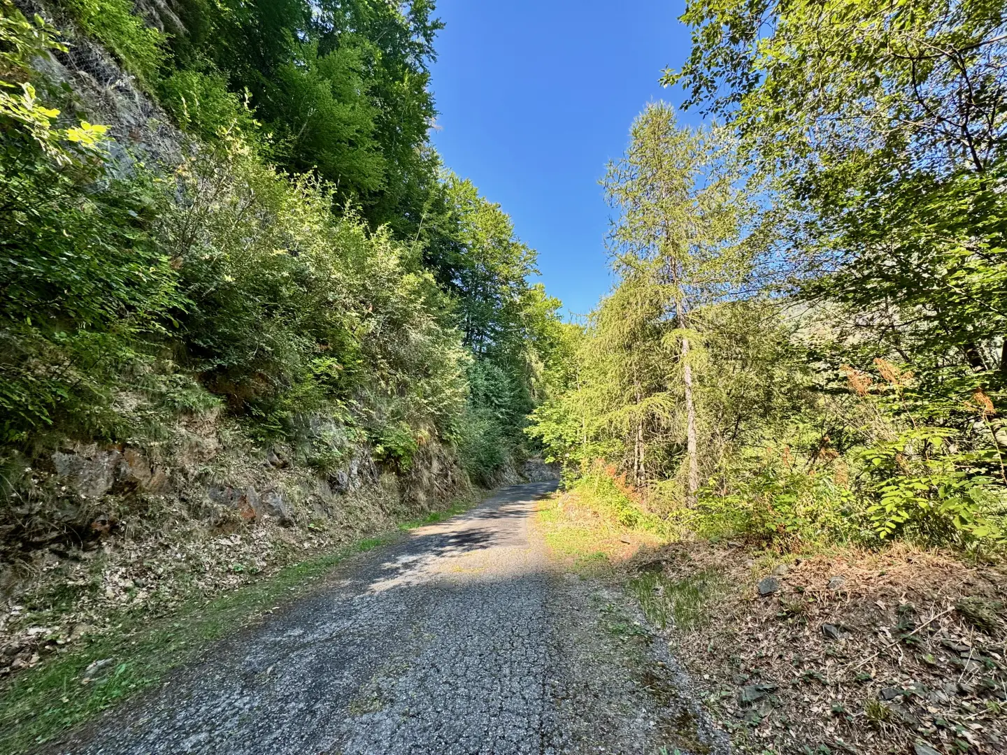
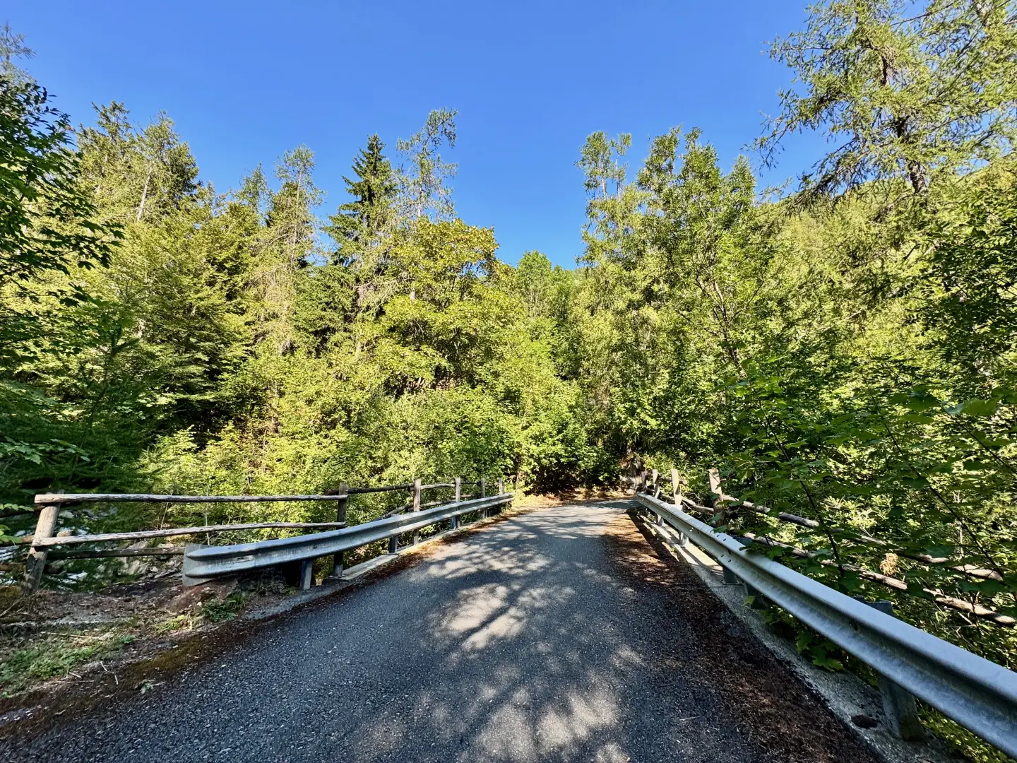
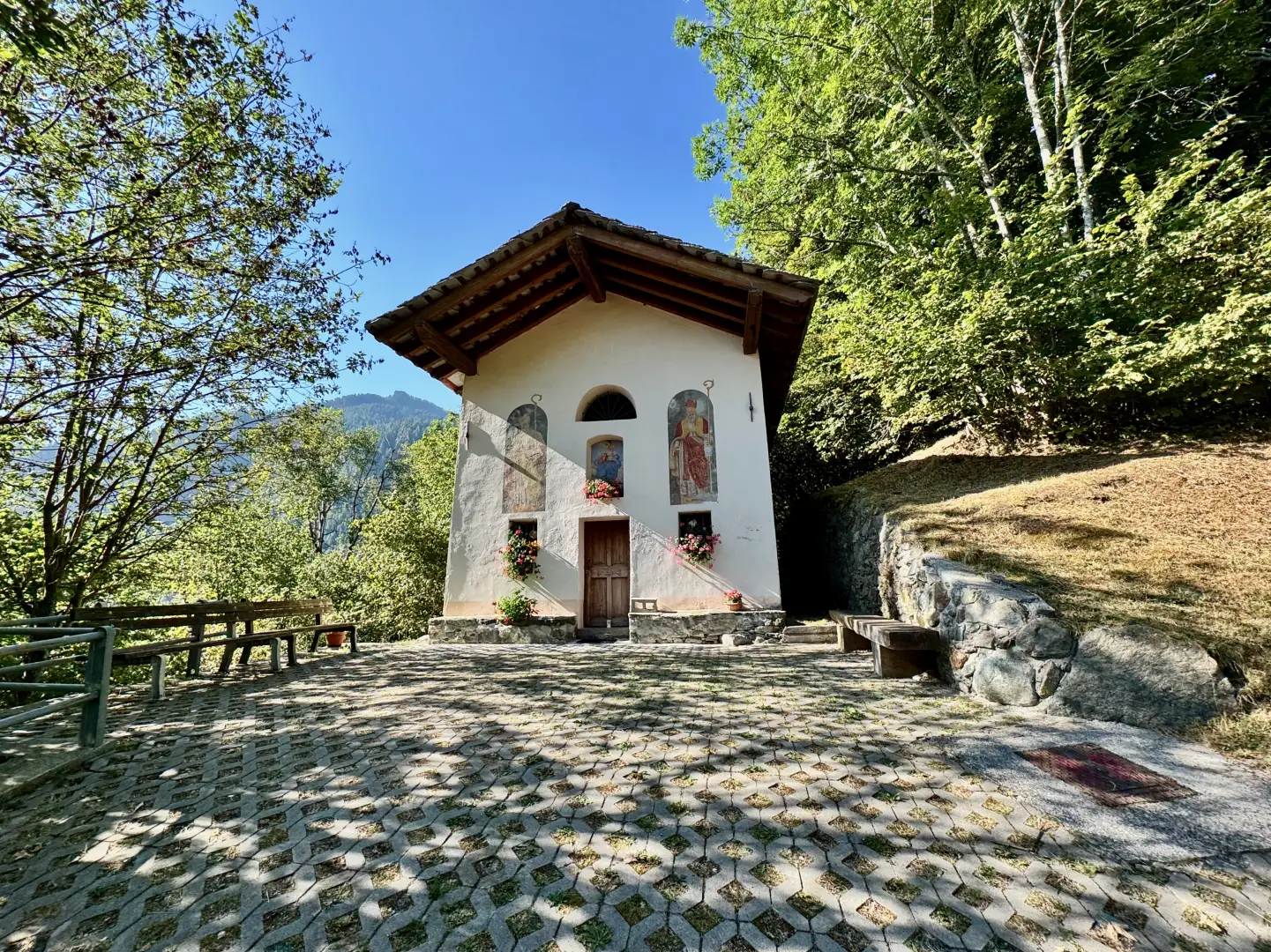
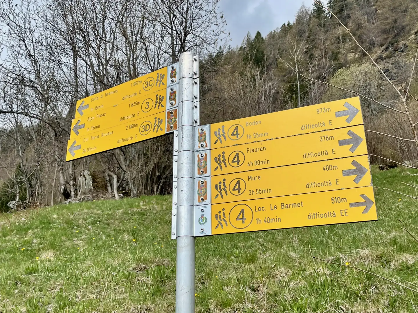
0h00' 0.00km Continue along the local road as it winds its way into the Brenve valley, keeping to its orographic right. The tarmac road follows the winding course of the wooded slope of the Bois de Castagnot, makes a couple of hairpin bends and crosses the headwaters of a few small streams, before running alongside the houses of La Grangetta (1,187m). Continue until you cross the Boccueil stream and move to the left-hand side of the valley, before coming to the houses of Lavo (1,200 m) on your right. The road becomes steeper and, after a few hairpin bends, you reach the village of Visey-Dessous (1,334 m) and the charming chapel dedicated to Our Lady of the Snows (1,377 m). A little further on, at a hairpin bend, you reach Cousse (1,420 m), where you’ll find a signpost.
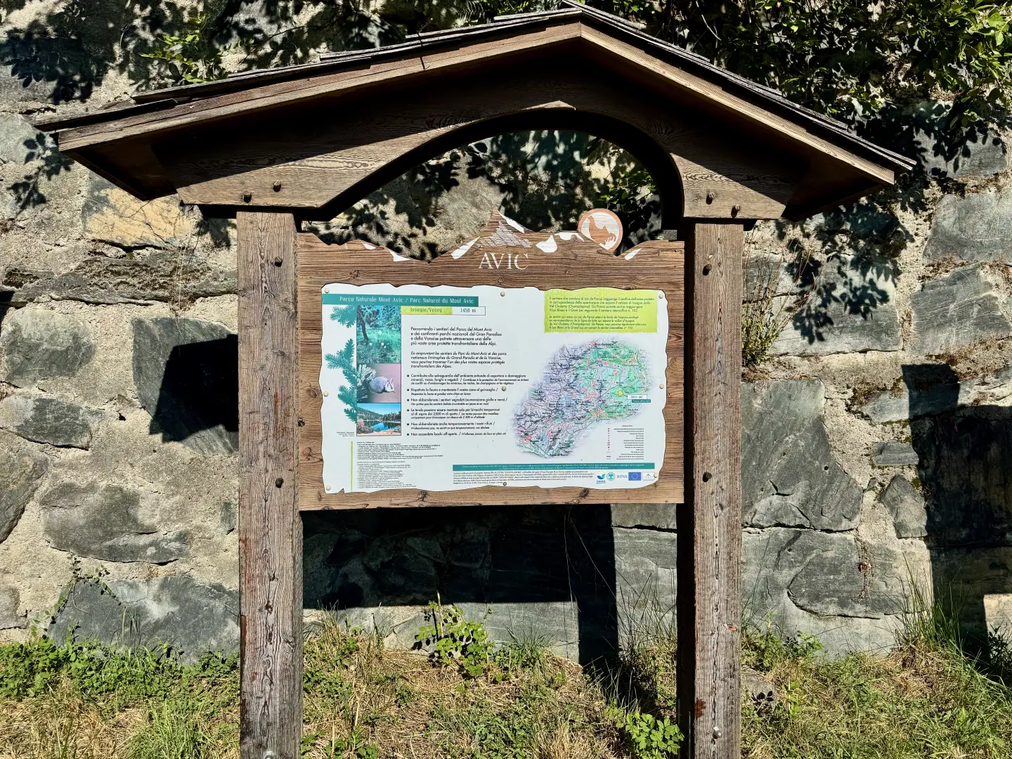
1h15' 3.02km (367 m ascent) (1 m descent) Turn left to reach the first houses of Visey-Dessus (1,428 m), a drinking fountain 💧 and the Visey-Dessus village car park, where you’ll find information panels about the Mont Avic Nature Park. From here, head towards the western end of the village, where a narrow farm track begins and there is a signpost.
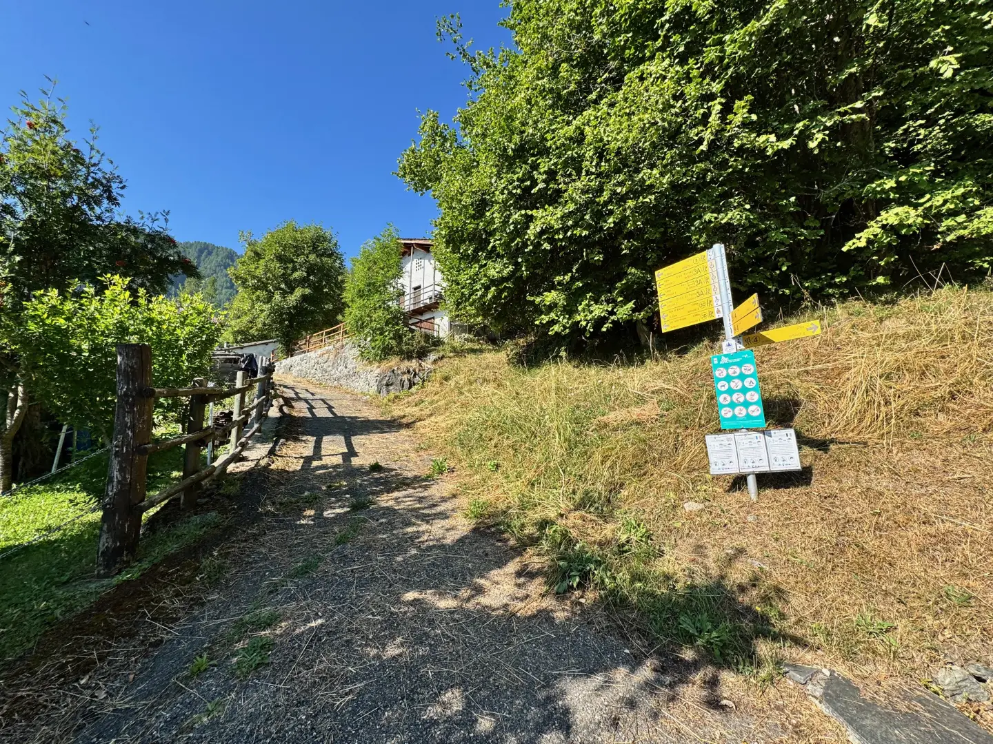
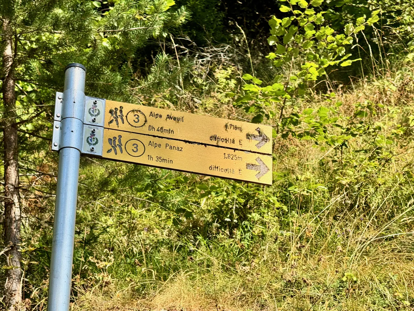
1h20' 3.18km Turn right and take a narrow farm track near a signpost. The track becomes a path and climbs briefly up the hillside, covered in sparse woodland, until it crosses the dirt track again. Turn left and, after a short uphill stretch running alongside an aqueduct, you will reach the hamlet of L’Arpettaz (1,498m) and a new signpost.
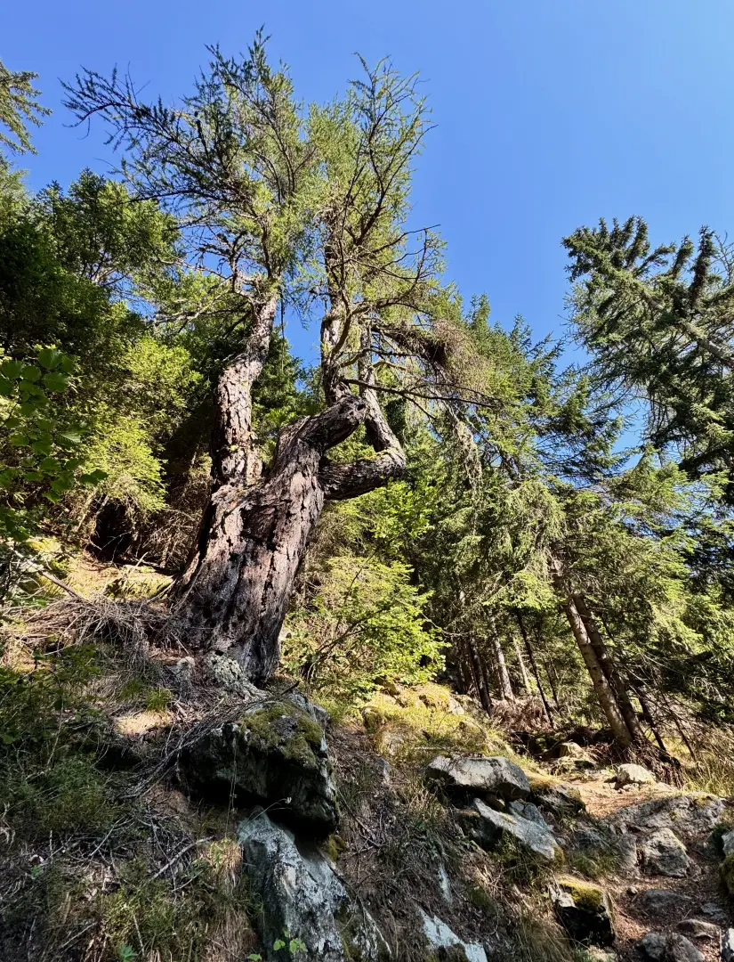
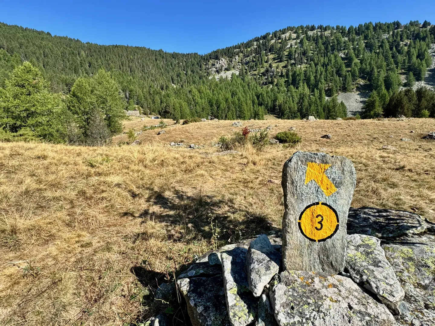
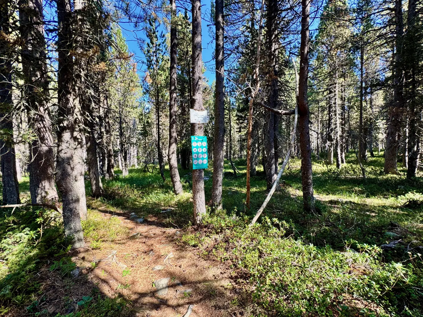
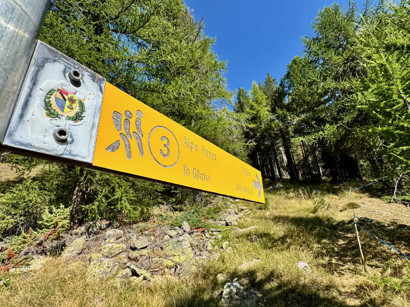
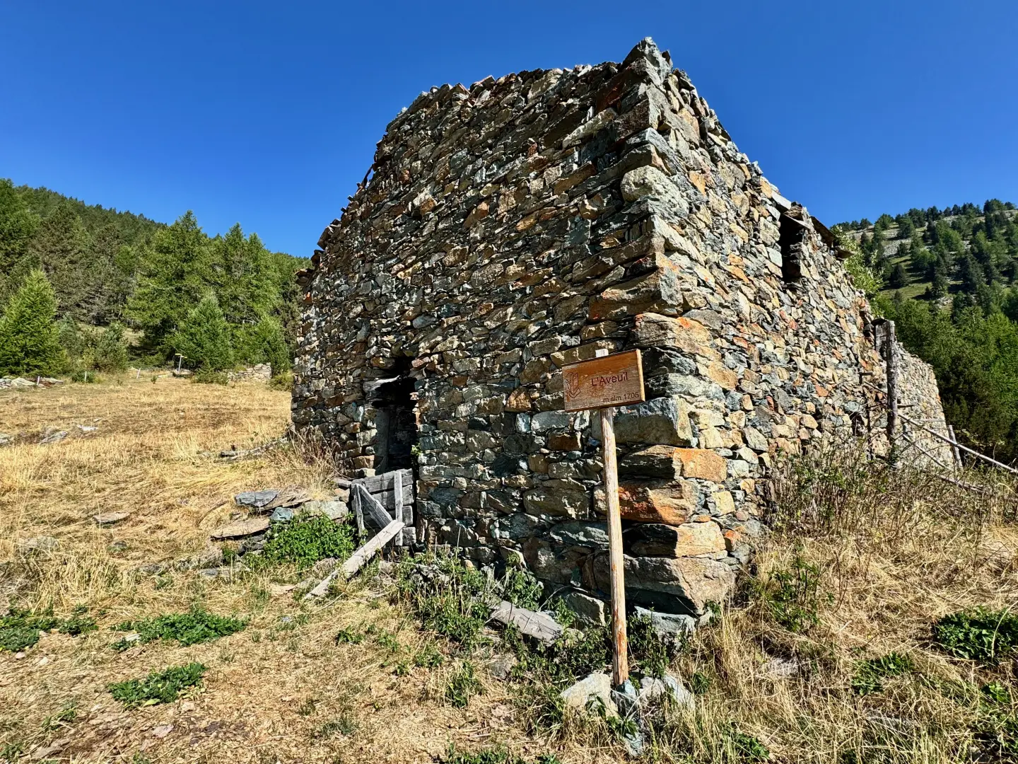
1h30' 3.49km Turn right, following the signs for Alpe di Panaz, and take the wide mule track which immediately enters a woodland dominated by larch trees. A little further on, you’ll come across a magnificent specimen, undoubtedly over a century old, its form shaped by time. The path begins to gain altitude with a series of bends, interspersed with long diagonal stretches on a moderate incline. During the ascent, you’ll come across a few small paths that join the main one; these should be ignored. The woodland gives way to a few clearings, from which you can admire interesting views of the lower valley and the ridge running from Col Courtil to Col Terre Rousse, the natural watershed with the Champorcher valley. The path enters the woodland once more before joining the pleasant pasture leading up to the mountain pasture. Passing some ruins on the right, continue across the pasture following the markings on some boulders, initially heading north-east towards the summit of Bec Gavin, before veering slightly left towards the mountain pasture. You’ll pass over a final, slightly undulating stretch until you reach L’Aveuil (1,717m), from where you can enjoy a sweeping view of the lower valley. Continue to the end of the pasture, heading towards a signpost situated at the edge of the woodland, near a junction.
2h00' 4.66km Ignore the path to Servaz on your left and carry on straight ahead, entering the woodland. On this stretch, the path is quite steep and gains altitude rapidly. As you approach the ridge, the gradient eases until you reach the crest, preceded by a small clearing with a cairn. A little further on, you’ll come across a sign marking the entrance to the Mont Avic Park. Ignore the path to Servaz on your left and carry on straight ahead, entering the woods. The path in this section is quite steep and gains altitude rapidly. As you approach the ridge, the gradient eases until you reach the top of the pass, preceded by a small clearing with a cairn. A little further on, you’ll come across a signpost marking the entrance to Mont Avic Park.
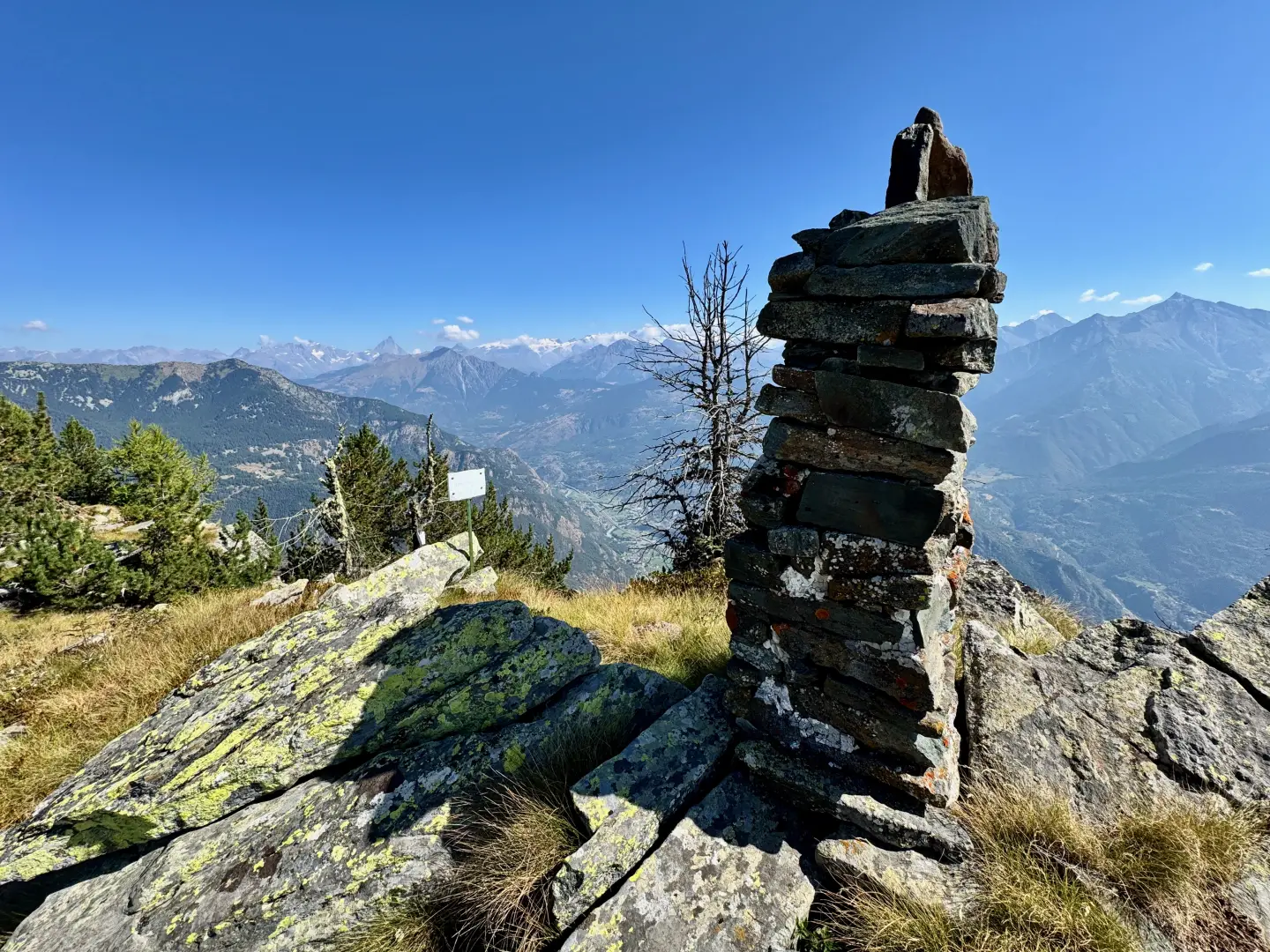
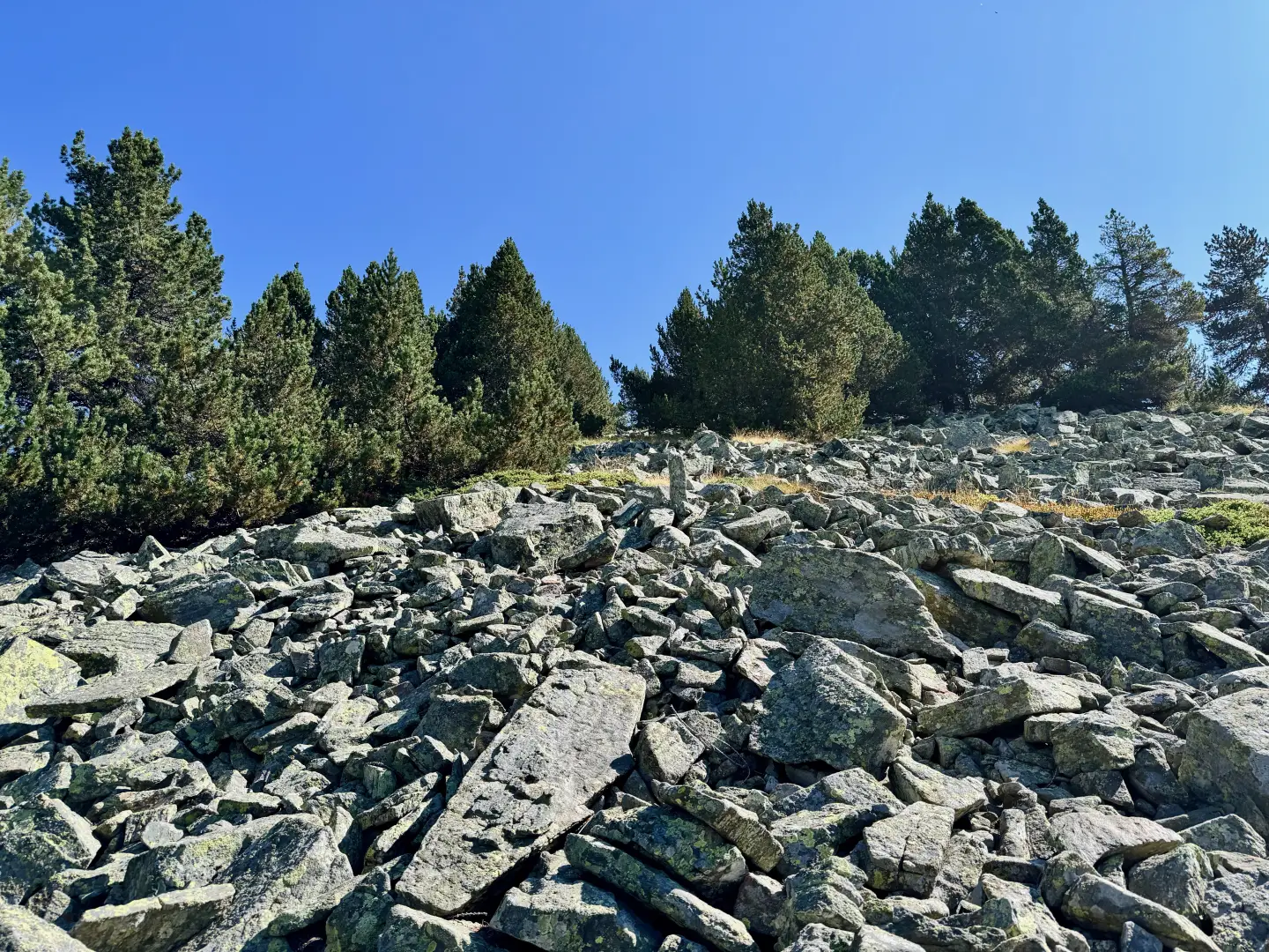
[2h 30m T3] 5.32km (857 m elevation gain) (1 m elevation loss) As you approach the sign, turn right and follow the faint tracks of a narrow path winding its way through the junipers. Follow the ridge line along an almost level stretch and, after a brief dip, resume the ascent, veering slightly to the right. You emerge from the woods and begin to catch sight of cairns well positioned on the scree. Follow them and, without too much difficulty, you’ll reach the flat summit, where a tall cairn marks the summit of Bec Gavin (2,002m) 2h45' 5.79km (925 m elevation gain) (1 m elevation loss).
The return journey follows the same route as the outward leg, retracing the path back to the starting point at the Castagnot car park 1h40' 5.79km (925 mD).
Places of Interest
Collections
Photo gallery
Comments (0)
Sign in to leave a comment